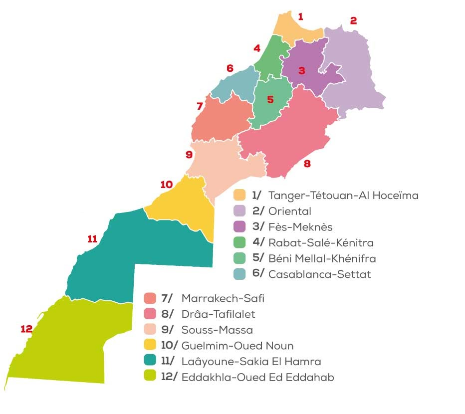
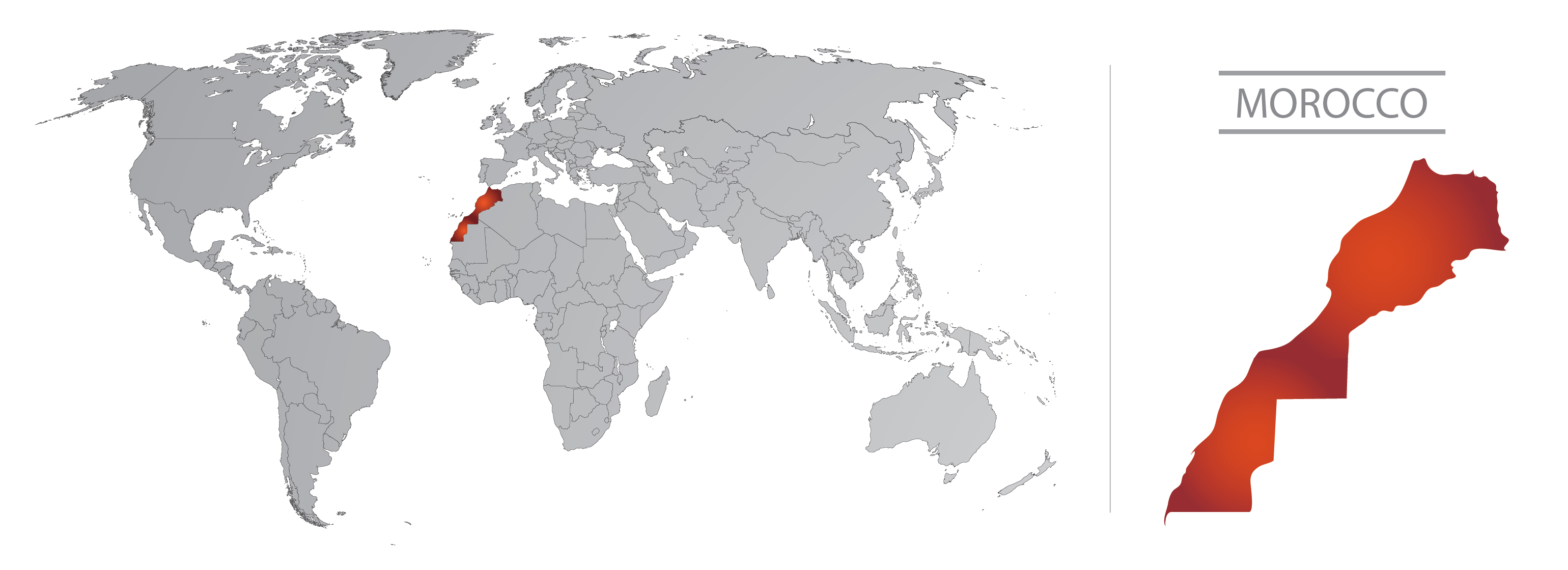
The correct Moroccan map comprises the country from Tangier to Lagouira.

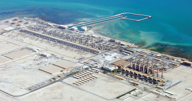
Morocco controls the wide country from Tangier to Lagouira, from North to South, and from Tangier to Saaidia, from West to East, providing security, hospitals, schools the airports, etc. All facilities, equipments and authorities are funded by the Moroccan government, without involving any other third party, and they all report to Rabat, the Administrative Capital of Morocco.
When foreign delegations make presentations in Morocco or print brochures containing the Moroccan map, either divided or incomplete, they immediately lose points, as it proves that they haven’t done their homework regarding the history of Morocco and its sovereignty, as these are essential elements for building trust and establishing agreements. The opposite would be like showing up to a job interview without any or wrong knowledge on the employer.
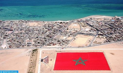
The Southern regions that seem to imputed on random sources on the web, are in fact safe to visit. They are well guarded by Moroccan authorities, that they attract windsurfers in remote areas, among other activities.


